
Pratt Spatial Analysis and Visualization Initiative
Introduction to Python Scripting for Geospatial Course GitHub Resources
Pratt SAVI 810
Course last ran remotely Spring 2020. See resources below to learn more. The lectures for the latest section were split into 15 3-hour lessons. Each lesson is a Jupyter Notebook. If you click on the notebook notebook thumbnail you will head to the completed lesson Jupyter Notebook. It may take a few minutes for it to render if no one has viewed the notebook rendered on GitHub for a while.
Lesson 01:
Introduction to the Course, Course Tools, Python Setup, Jupyter Notebook, Data Types, Functions |
|
Lesson 02:
Python Intro Continued; Libraries, Looping, Spatial Data Models, GitHub |
|
Lesson 03:
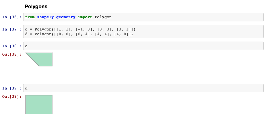
If-Elif-Else Conditionals, Spatial Data Models, Introduction to Pandas, GeoPandas |
|
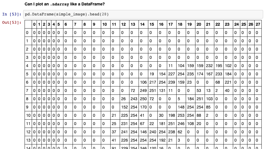
Lesson 04:
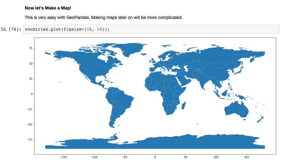
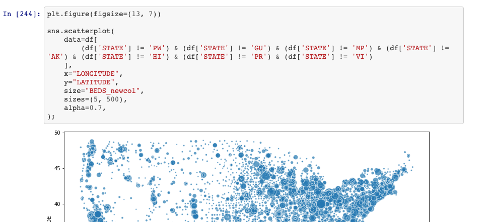
Exploratory Data Analysis & Visualization |
|
Lesson 05:
Introduction to Debugging, Geoprocessing (Geospatial Analysis) with GeoPandas |
|
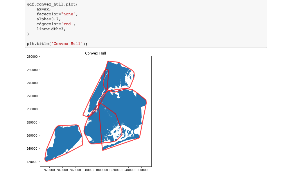
Lesson 06:
Geoprocessing with GeoPandas (con't), Geospatial Data Models (Raster), Geocoding |
|
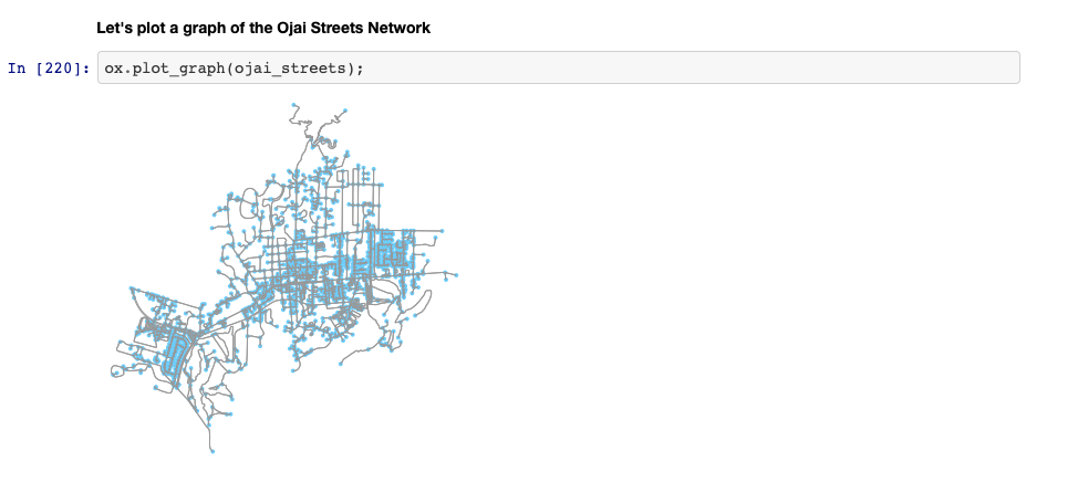
Lesson 07:
Introduction to Object-Oriented Programming with Classes and Objects, Geocoding and Street Networks with OSMnx |
|
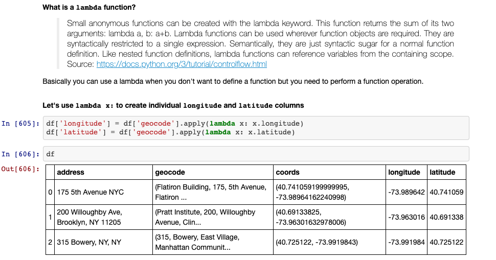
Lesson 08:
Geocoding (con't), Lambda Functions and Street Networks with OSMnx |
|
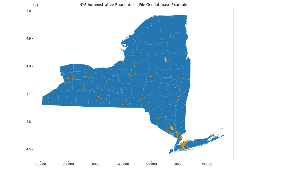
Lesson 09:
Additional Mapping Functionality with Matplotlib, Networks with OSMNX (cont'd), GeoPandas Read FGDB, KML |
|
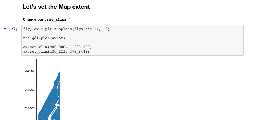
Lesson 10:
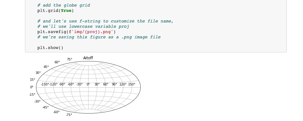
In-Class Team Coding Exercise, Additional Mapping Functionality with Matplotlib |
|
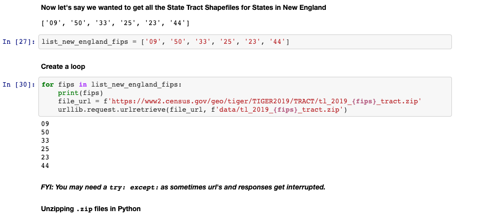
Lesson 11:
Managing data retrieval workflows with Requests, Unzipping files, concatenating DataFrames; Wrap-up Additional Mapping Functionality with Matplotlib |
|
Lesson 12:
APIs (Application Programming Interface), Wrap-up Additional Mapping Functionality with Matplotlib |

|
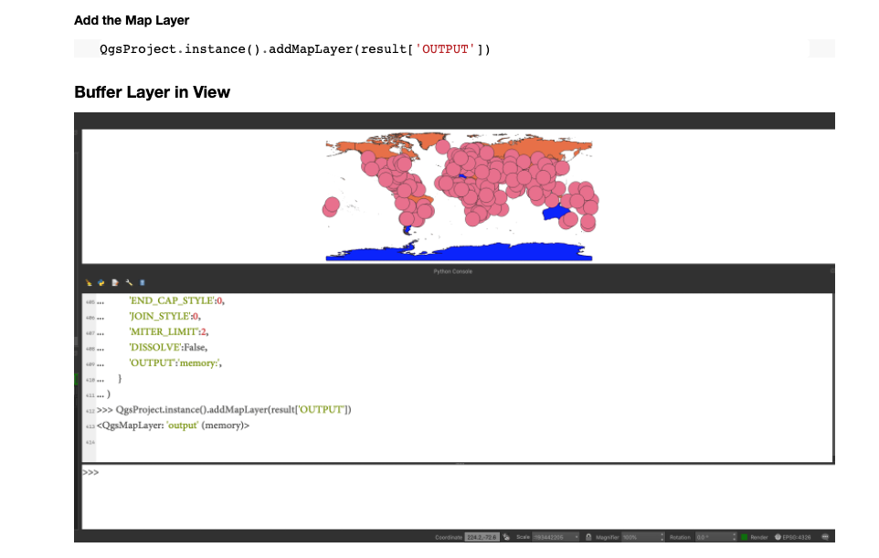
Lesson 13:
Python for QGIS (PyQGIS) |
|
Lesson 14:
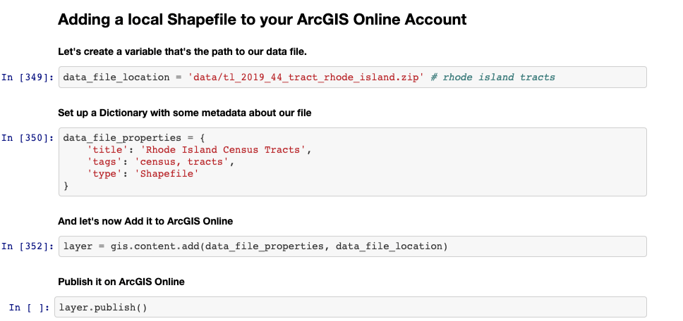
Folium, Plotly, Python for ArcGIS online |
|
Lesson 15:
Project Presentations and Project Help |
|